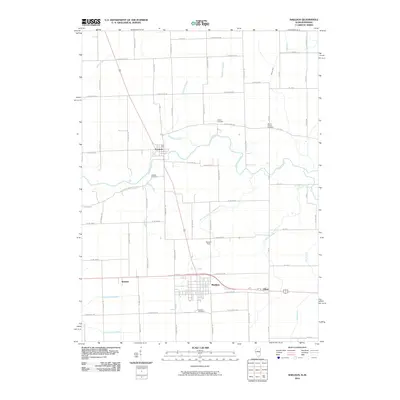
2010 Map of Sheldon
USGS Topo · Published 2010About this map
The Iroquois River meanders across the northern portion of this landscape, anchoring the settlement of Iroquois. Further south, the town of Sheldon serves as a regional hub where multiple road systems and drainage networks converge. This area of eastern Iroquois County is defined by its agricultural engineering, featuring an extensive system of man-made waterways like Sheldon Ditch Number 1 and the North Sheldon South Concord Ditch designed to manage the prairie hydrology. Local history is preserved in several rural burial grounds, including the Morris Chapel Cemetery and Liberty Cemetery in the northeast, and the Gaffield Cemetery near Gaffield Creek. To the east, the settlement of Effner sits on the border, while Zoomer Field and the Sheldon Cemetery mark the outskirts of the primary township. The map illustrates a strictly surveyed grid of county roads that facilitates movement between small communities like Webster and the surrounding farmland.
Find a feature on this map
45 named features on this map. Tap any name to fly to it.
Don’t see what you’re looking for? This feature index may not catch every label — zoom into the map to look around manually.
Map Details
Editions of this 2010 Sheldon Map
This is the sole edition of this map. No revisions or reprints were ever made.
Other maps of this area

1935 · Watseka
USGS Topo · 1:48,000

1938 · Milford
USGS Topo · 1:48,000

1939 · Watseka
USGS Topo · 1:62,500

1944 · Milford
USGS Topo · 1:62,500

1953 · Danville
USGS Topo · 1:250,000

1955 · Danville
USGS Topo · 1:250,000

1956 · Danville
USGS Topo · 1:250,000

1961 · Kentland
USGS Topo · 1:24,000

1961 · Morocco
USGS Topo · 1:24,000

1962 · Earl Park
USGS Topo · 1:24,000