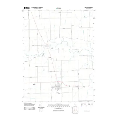
2012 Map of Sheldon
USGS Topo · Published 2012About this map
The Iroquois River meanders through this portion of eastern Iroquois County, defining a landscape shaped by both natural waterways and a sophisticated network of drainage engineering. Settled areas like Webster and Effner anchor the southern region, while the grid of rural roads connects several historic burial sites, including Gaffield Cem and Liberty Cem. The map illustrates the transition from natural stream courses like Blackston Br and Gaffield Cr to man-made systems such as Baird Ditch and Garrard DITCH, which were essential for managing the prairie wetlands for agriculture. Transportation infrastructure is represented by the aviation facilities at Zoomer Field Airport, providing a modern contrast to the traditional rural cemetery locations like Morris Chapel Cem and Sheldon Cem found throughout the quadrangle.
Find a feature on this map
96 named features on this map. Tap any name to fly to it.
Don’t see what you’re looking for? This feature index may not catch every label — zoom into the map to look around manually.
Map Details
Editions of this 2012 Sheldon Map
This is the sole edition of this map. No revisions or reprints were ever made.
Other maps of this area

1935 · Watseka
USGS Topo · 1:48,000

1938 · Milford
USGS Topo · 1:48,000

1939 · Watseka
USGS Topo · 1:62,500

1944 · Milford
USGS Topo · 1:62,500

1953 · Danville
USGS Topo · 1:250,000

1955 · Danville
USGS Topo · 1:250,000

1956 · Danville
USGS Topo · 1:250,000

1961 · Kentland
USGS Topo · 1:24,000

1961 · Morocco
USGS Topo · 1:24,000

1962 · Earl Park
USGS Topo · 1:24,000