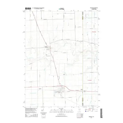
2015 Map of Sheldon
USGS Topo · Published 2015About this map
Sheldon and its surroundings in Iroquois County are defined by a complex network of agricultural drainage systems and the winding course of the Iroquois River. This landscape reflects a century of sophisticated water management, where named channels like Eastburn Ditch Number 1, Gaffield Creek, and the North Sheldon South Concord Ditch allow for productive prairie farming. The small village of Effner sits directly on the boundary of Iroquois County, Illinois, and Newton County, Indiana, marking a quiet border crossing.
Find a feature on this map
55 named features on this map. Tap any name to fly to it.
Don’t see what you’re looking for? This feature index may not catch every label — zoom into the map to look around manually.
Map Details
Editions of this 2015 Sheldon Map
This is the sole edition of this map. No revisions or reprints were ever made.
Other maps of this area

1935 · Watseka
USGS Topo · 1:48,000

1938 · Milford
USGS Topo · 1:48,000

1939 · Watseka
USGS Topo · 1:62,500

1944 · Milford
USGS Topo · 1:62,500

1953 · Danville
USGS Topo · 1:250,000

1955 · Danville
USGS Topo · 1:250,000

1956 · Danville
USGS Topo · 1:250,000

1961 · Kentland
USGS Topo · 1:24,000

1961 · Morocco
USGS Topo · 1:24,000

1962 · Earl Park
USGS Topo · 1:24,000