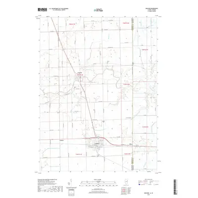
2018 Map of Sheldon
USGS Topo · Published 2018About this map
Iroquois River meanders across this borderland landscape where Illinois and Indiana meet, shaping the drainage patterns and early settlement sites of eastern Iroquois County. The town of Sheldon serves as a central hub, situated near the intersection of several regional routes and the historic rail corridor leading east to Effner on the state line. The map reveals an extensive network of managed waterways, including N Sheldon S Concord Ditch and the Eastburn Ditch Number 2, which are essential to the agricultural productivity of this flat prairie terrain.
Find a feature on this map
104 named features on this map. Tap any name to fly to it.
Don’t see what you’re looking for? This feature index may not catch every label — zoom into the map to look around manually.
Map Details
Editions of this 2018 Sheldon Map
This is the sole edition of this map. No revisions or reprints were ever made.
Other maps of this area

1935 · Watseka
USGS Topo · 1:48,000

1938 · Milford
USGS Topo · 1:48,000

1939 · Watseka
USGS Topo · 1:62,500

1944 · Milford
USGS Topo · 1:62,500

1953 · Danville
USGS Topo · 1:250,000

1955 · Danville
USGS Topo · 1:250,000

1956 · Danville
USGS Topo · 1:250,000

1961 · Kentland
USGS Topo · 1:24,000

1961 · Morocco
USGS Topo · 1:24,000

1962 · Earl Park
USGS Topo · 1:24,000