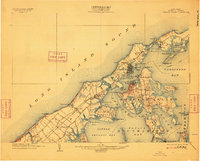
1904 Map of Shelter Island
USGS Topo · Published 1909About this map
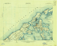
The maritime architecture of eastern Suffolk County is clearly defined in this early twentieth-century coastal survey, showing the intricate relationship between the North Fork and Shelter Island before modern bridge systems dominated the landscape. Greenport serves as a primary hub for commerce and transport, sitting opposite Shelter Island Heights across the deep waters of Pipes Cove. The map documents a time when travel was dictated by the tide and steam, noting the Steamboat Route threading through Gardiners Bay and the critical link at South Ferry.
Find a feature on this map
87 named features on this map. Tap any name to fly to it.
Don’t see what you’re looking for? This feature index may not catch every label — zoom into the map to look around manually.
Map Details
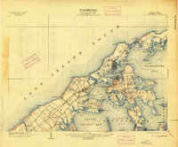
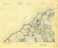
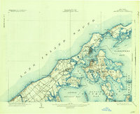
Editions of this 1904 Shelter Island Map
6 editions found
Other maps of this area

1903 · Sag Harbor
USGS Topo · 1:62,500

1903 · Gardiners Island
USGS Topo · 1:62,500

1903 · Riverhead
USGS Topo · 1:62,500

1904 · Sag Harbor
USGS Topo · 1:62,500

1904 · Shelter Island
USGS Topo · 1:62,500

1904 · Easthampton
USGS Topo · 1:62,500

1904 · Gardiners Island
USGS Topo · 1:62,500

1904 · Riverhead
USGS Topo · 1:62,500

1921 · Gardiners Island
USGS Topo · 1:62,500

1921 · Easthampton
USGS Topo · 1:62,500