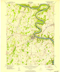
1953 Map of Shepherdstown
USGS Topo · Published 1954About this map
The Potomac River winds through the heart of this landscape, its deep bends defining the border between West Virginia and Maryland. Along the northern bank, the historic Chesapeake and Ohio Canal follows the river's curve past Horseshoe Bend and the wooded Shepherds Island. In West Virginia, Shepherdstown serves as a central hub, anchored by Shepherd College and the Elmwood Cem. The James Rumsey Bridge provides a vital link across the water toward Sharpsburg, Maryland, while the Norfolk and Western railroad services Antietam Station. Smaller hamlets like Scrabble and Moler Crossroads are connected by a network of rural roads and spring-fed runs, including Rocky Marsh Run and Town Run. The landscape is dotted with local landmarks such as Marvin Chapel and Millers Sawmill, reflecting a mid-century community deeply integrated with its riverfront geography.
Find a feature on this map
38 named features on this map. Tap any name to fly to it.
Don’t see what you’re looking for? This feature index may not catch every label — zoom into the map to look around manually.
Map Details
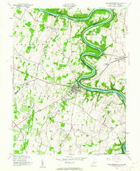
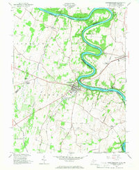
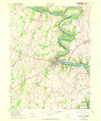
Editions of this 1953 Shepherdstown Map
4 editions found
Other maps of this area

1884 · Harpers Ferry
USGS Topo · 1:125,000

1891 · Harpers Ferry
USGS Topo · 1:125,000

1893 · Harpers Ferry
USGS Topo · 1:125,000

1908 · Middletown
USGS Topo · 1:48,000

1909 · Hagerstown
USGS Topo · 1:48,000

1910 · Antietam
USGS Topo · 1:62,500

1912 · Hagerstown
USGS Topo · 1:62,500

1912 · Williamsport
USGS Topo · 1:62,500

1914 · Martinsburg
USGS Topo · 1:48,000

1916 · Martinsburg
USGS Topo · 1:62,500