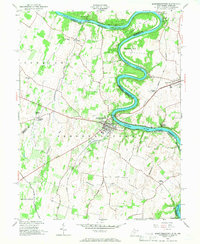
1953 Map of Shepherdstown
USGS Topo · Published 1966About this map
Shepherdstown sits along the sharp meanders of the Potomac River, serving as a vital historic hub in Jefferson County during the mid-twentieth century. The landscape is defined by the proximity of the Chesapeake and Ohio Canal on the Maryland shore, while the town itself is anchored by Shepherd College and the landmark James Rumsey Bridge. The intersection of river commerce and rail transport is evident where the Norfolk and Western line crosses near Antietam Station, connecting the agricultural hinterlands to broader regional markets.
Find a feature on this map
41 named features on this map. Tap any name to fly to it.
Don’t see what you’re looking for? This feature index may not catch every label — zoom into the map to look around manually.
Map Details
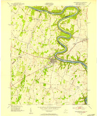
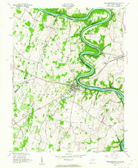
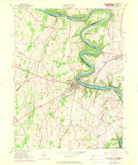
Editions of this 1953 Shepherdstown Map
4 editions found
Other maps of this area

1884 · Harpers Ferry
USGS Topo · 1:125,000

1891 · Harpers Ferry
USGS Topo · 1:125,000

1893 · Harpers Ferry
USGS Topo · 1:125,000

1908 · Middletown
USGS Topo · 1:48,000

1909 · Hagerstown
USGS Topo · 1:48,000

1910 · Antietam
USGS Topo · 1:62,500

1912 · Hagerstown
USGS Topo · 1:62,500

1912 · Williamsport
USGS Topo · 1:62,500

1914 · Martinsburg
USGS Topo · 1:48,000

1916 · Martinsburg
USGS Topo · 1:62,500