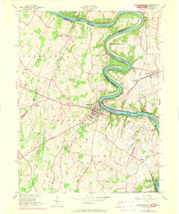
1953 Map of Shepherdstown
USGS Topo · Published 1972About this map
Shepherdstown serves as a historic focal point where the Potomac River winds through a landscape defined by 19th-century infrastructure and agricultural hamlets. The 1971 photorevisions capture the intersection of the Norfolk and Western railroad and the Chesapeake and Ohio Canal, which hugs the riverbank near Shepherd's Island and Horseshoe Bend. On the West Virginia side, Shepherd College and Morgan Grove Town Park mark the community's growth, while rural life remains anchored by crossroads such as Scrabble, Moler Crossroads, and Middleway. Across the James Rumsey Bridge, the map documents Sharpsburg and Antietam Station in Maryland. This survey provides a clear view of the region's topography, from the drainage of Rocky Marsh Run and Rattlesnake Run to the various springs and cemeteries, including Elmwood Cem, that are essential for local genealogical research.
Find a feature on this map
38 named features on this map. Tap any name to fly to it.
Don’t see what you’re looking for? This feature index may not catch every label — zoom into the map to look around manually.
Map Details
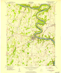
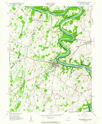
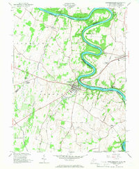
Editions of this 1953 Shepherdstown Map
4 editions found
Other maps of this area

1884 · Harpers Ferry
USGS Topo · 1:125,000

1891 · Harpers Ferry
USGS Topo · 1:125,000

1893 · Harpers Ferry
USGS Topo · 1:125,000

1908 · Middletown
USGS Topo · 1:48,000

1909 · Hagerstown
USGS Topo · 1:48,000

1910 · Antietam
USGS Topo · 1:62,500

1912 · Hagerstown
USGS Topo · 1:62,500

1912 · Williamsport
USGS Topo · 1:62,500

1914 · Martinsburg
USGS Topo · 1:48,000

1916 · Martinsburg
USGS Topo · 1:62,500