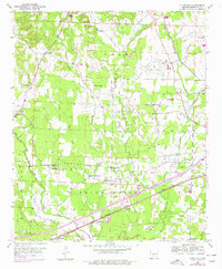
1951 Map of Sheppard
USGS Topo · Published 1978About this map
The settlement of Guernsey serves as a central hub in this Hempstead County landscape, where the Missouri Pacific and St Louis San Francisco railroads intersect the rural terrain. The area is defined by a high concentration of community centers and family-named landmarks, including schools like Guernsey Sch and Guernsey High Sch, alongside numerous country churches such as Wayne Chapel, St Luke Ch, and Water Creek Ch. These sites, along with rural graveyards like Bright Star Cem and Westmorland Cem, offer significant details for genealogical research.
Find a feature on this map
38 named features on this map. Tap any name to fly to it.
Don’t see what you’re looking for? This feature index may not catch every label — zoom into the map to look around manually.
Map Details
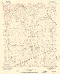
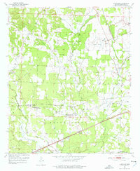
Editions of this 1951 Sheppard Map
4 editions found
Other maps of this area

1951 · Blevins
USGS Topo · 1:24,000

1951 · Patmos
USGS Topo · 1:24,000

1951 · Fulton
USGS Topo · 1:24,000

1951 · Columbus
USGS Topo · 1:24,000

1951 · Sheppard
USGS Topo · 1:24,000

1951 · Spring Hill
USGS Topo · 1:24,000

1951 · Washington
USGS Topo · 1:24,000

1951 · Hope
USGS Topo · 1:24,000

1951 · Mc Nab
USGS Topo · 1:24,000

1953 · El Dorado
USGS Topo · 1:250,000