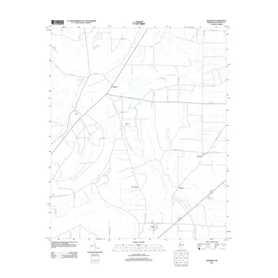
2012 Map of Sherard
USGS Topo · Published 2012About this map
Harris Bayou and Dogwood Bayou thread through this alluvial landscape, defining the agricultural character of Coahoma County. The settlement patterns follow these watercourses and the local road network, with the community of Sherard serving as a central hub near the intersection of Sherard Holmes Rd and Sigmon Rd. The map documents numerous smaller settlements and crossings, including Pullen, Beverly, and Bobo, which are situated along the eastern and southern reaches of the quadrangle.
Find a feature on this map
42 named features on this map. Tap any name to fly to it.
Don’t see what you’re looking for? This feature index may not catch every label — zoom into the map to look around manually.
Map Details
Editions of this 2012 Sherard Map
This is the sole edition of this map. No revisions or reprints were ever made.
Other maps of this area

1908 · Coahoma
USGS Topo · 1:24,000

1910 · Coahoma
USGS Topo · 1:31,680

1930 · Mellwood
USGS Topo · 1:62,500

1935 · Clarksdale
USGS Topo · 1:62,500

1939 · Farrell
USGS Topo · 1:62,500

1939 · Modoc
USGS Topo · 1:62,500

1939 · Clarksdale
USGS Topo · 1:62,500

1939 · Mellwood
USGS Topo · 1:62,500

1948 · Helena
USGS Topo · 1:250,000

1948 · Modoc
USGS Topo · 1:62,500