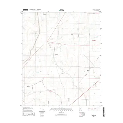
2015 Map of Sherard
USGS Topo · Published 2015About this map
The low-lying Mississippi Delta landscape of Coahoma County is defined by a complex network of waterways, including the winding paths of Harris Bayou and Dogwood Bayou. This agricultural region is punctuated by small settlements like Sherard and Beverly, connected by rural routes such as Sherard Rd and Bobo Sherard Rd. Local history is anchored at sites like Nathan Cem and Dogwood Cem, providing critical landmarks for genealogists and researchers tracing the families who settled this fertile alluvial plain.
Find a feature on this map
37 named features on this map. Tap any name to fly to it.
Don’t see what you’re looking for? This feature index may not catch every label — zoom into the map to look around manually.
Map Details
Editions of this 2015 Sherard Map
This is the sole edition of this map. No revisions or reprints were ever made.
Other maps of this area

1908 · Coahoma
USGS Topo · 1:24,000

1910 · Coahoma
USGS Topo · 1:31,680

1930 · Mellwood
USGS Topo · 1:62,500

1935 · Clarksdale
USGS Topo · 1:62,500

1939 · Farrell
USGS Topo · 1:62,500

1939 · Modoc
USGS Topo · 1:62,500

1939 · Clarksdale
USGS Topo · 1:62,500

1939 · Mellwood
USGS Topo · 1:62,500

1948 · Helena
USGS Topo · 1:250,000

1948 · Modoc
USGS Topo · 1:62,500