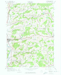
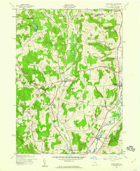
1943 Map of Sherburne
USGS Topo · Published 1974About this map
Sherburne anchors the western edge of this Chenango County landscape, situated along the Chenango River and the rural network of the mid-1940s. The terrain is defined by significant elevations such as Hunts Mountain and Columbus Hill, where a high concentration of decentralized rural schoolhouses, including School No 12 and School No 6, suggests a landscape still deeply rooted in small-district education and agricultural community life.
Find a feature on this map
39 named features on this map. Tap any name to fly to it.
Don’t see what you’re looking for? This feature index may not catch every label — zoom into the map to look around manually.
Map Details
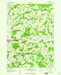
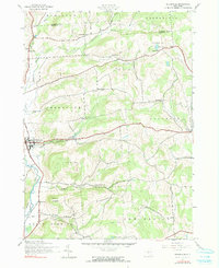
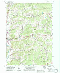
Editions of this 1943 Sherburne Map
4 editions found
Other maps of this area

1902 · Morrisville
USGS Topo · 1:62,500

1903 · Norwich
USGS Topo · 1:62,500

1907 · Sangerfield
USGS Topo · 1:62,500

1910 · New Berlin
USGS Topo · 1:62,500

1912 · New Berlin
USGS Topo · 1:62,500

1943 · New Berlin North
USGS Topo · 1:24,000

1943 · New Berlin South
USGS Topo · 1:24,000

1943 · Hubbardsville
USGS Topo · 1:24,000

1943 · Sangerfield
USGS Topo · 1:62,500
1943 · Brookfield
USGS Topo · 1:24,000