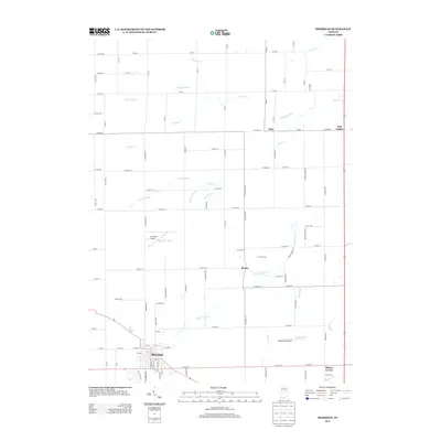
2013 Map of Sheridan
USGS Topo · Published 2013About this map
The town of Sheridan anchors the southwestern corner of this Indiana landscape, where a grid of rural roads and agricultural drainage ditches defines the terrain. This 2013 survey illustrates the continued importance of the region's complex water management system, featuring numerous man-made and natural channels such as Little Cicero Cr, Kigin Ditch, and Christy Ditch. These waterways support the productive farmland that stretches between the small communities of Boxley and Bakers Corner.
Find a feature on this map
108 named features on this map. Tap any name to fly to it.
Don’t see what you’re looking for? This feature index may not catch every label — zoom into the map to look around manually.
Map Details
Editions of this 2013 Sheridan Map
This is the sole edition of this map. No revisions or reprints were ever made.
Other maps of this area

1953 · Westfield
USGS Topo · 1:24,000

1953 · Rosston
USGS Topo · 1:24,000

1953 · Noblesville
USGS Topo · 1:24,000

1953 · Danville
USGS Topo · 1:250,000

1955 · Danville
USGS Topo · 1:250,000

1956 · Danville
USGS Topo · 1:250,000

1960 · Noblesville
USGS Topo · 1:24,000

1960 · Kempton
USGS Topo · 1:24,000

1960 · Tipton
USGS Topo · 1:24,000

1961 · Sheridan
USGS Topo · 1:24,000