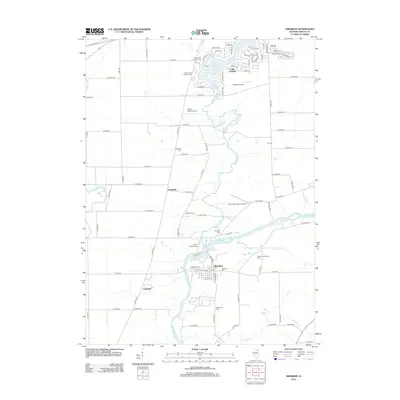
2012 Map of Sheridan
USGS Topo · Published 2012About this map
The Fox River corridor in northern LaSalle County is the defining natural feature of this area, winding past the village of Sheridan and the community of Catharine. This portion of Northville Township is characterized by a high concentration of small rural burial grounds, including the Seaman Cem, Elerding Cem, and Northville Cem, providing a detailed spatial record for genealogical research. To the north, the residential developments surrounding Lake Holiday create a distinct suburban contrast to the agricultural landscape elsewhere.
Find a feature on this map
93 named features on this map. Tap any name to fly to it.
Don’t see what you’re looking for? This feature index may not catch every label — zoom into the map to look around manually.
Map Details
Editions of this 2012 Sheridan Map
This is the sole edition of this map. No revisions or reprints were ever made.
Other maps of this area

1892 · Marseilles
USGS Topo · 1:62,500

1892 · Ottawa
USGS Topo · 1:62,500

1915 · Ottawa
USGS Topo · 1:62,500

1916 · Marseilles
USGS Topo · 1:62,500

1940 · Marseilles
USGS Topo · 1:62,500

1946 · Ottawa
USGS Topo · 1:62,500

1948 · Sandwich
USGS Topo · 1:62,500

1950 · Sandwich
USGS Topo · 1:62,500

1951 · Earlville
USGS Topo · 1:62,500

1958 · Aurora
USGS Topo · 1:250,000