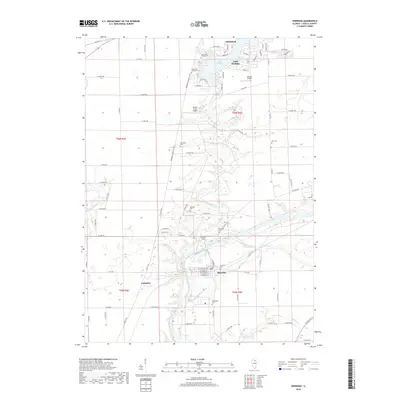
2018 Map of Sheridan
USGS Topo · Published 2018About this map
Somonauk and Sheridan anchor this LaSalle County landscape where the Fox River meets its winding tributaries. The map documents a blend of residential lakeside development and rural Illinois prairie, centered on the recreational waters of Lake Holiday. This reservoir is surrounded by a dense network of local roads such as LaSalle Dr and Lake Holiday Dr, contrasting with the orderly section lines of the surrounding townships. Genealogists will find several burial grounds across the area, including Saint John Catholic Cem and the Seaman Cem located near Somonauk Creek. Small-scale aviation is represented by Walnut Creek Airport and Johnson Airport, while the southern reaches of the quadrangle follow the river toward Catharine and the mouth of Mission Cr.
Find a feature on this map
93 named features on this map. Tap any name to fly to it.
Don’t see what you’re looking for? This feature index may not catch every label — zoom into the map to look around manually.
Map Details
Editions of this 2018 Sheridan Map
This is the sole edition of this map. No revisions or reprints were ever made.
Other maps of this area

1892 · Marseilles
USGS Topo · 1:62,500

1892 · Ottawa
USGS Topo · 1:62,500

1915 · Ottawa
USGS Topo · 1:62,500

1916 · Marseilles
USGS Topo · 1:62,500

1940 · Marseilles
USGS Topo · 1:62,500

1946 · Ottawa
USGS Topo · 1:62,500

1948 · Sandwich
USGS Topo · 1:62,500

1950 · Sandwich
USGS Topo · 1:62,500

1951 · Earlville
USGS Topo · 1:62,500

1958 · Aurora
USGS Topo · 1:250,000