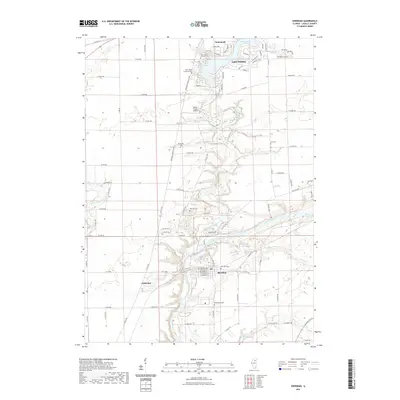
2021 Map of Sheridan
USGS Topo · Published 2021About this map
Sheridan and the residential community of Lake Holiday anchor this LaSalle County landscape where the Fox River receives the waters of Somonauk Creek. The settlement pattern reflects a mix of traditional township grids and modern lakeside development, with Somonauk visible in the northern reaches. For local historians and genealogists, the map is particularly dense with burial sites, including the Northville Cem, Lett Cem, and Seaman Cem, alongside the denominational Saint Johns Lutheran Cem and Saint John Catholic Cem.
Find a feature on this map
92 named features on this map. Tap any name to fly to it.
Don’t see what you’re looking for? This feature index may not catch every label — zoom into the map to look around manually.
Map Details
Editions of this 2021 Sheridan Map
This is the sole edition of this map. No revisions or reprints were ever made.
Other maps of this area

1892 · Marseilles
USGS Topo · 1:62,500

1892 · Ottawa
USGS Topo · 1:62,500

1915 · Ottawa
USGS Topo · 1:62,500

1916 · Marseilles
USGS Topo · 1:62,500

1940 · Marseilles
USGS Topo · 1:62,500

1946 · Ottawa
USGS Topo · 1:62,500

1948 · Sandwich
USGS Topo · 1:62,500

1950 · Sandwich
USGS Topo · 1:62,500

1951 · Earlville
USGS Topo · 1:62,500

1958 · Aurora
USGS Topo · 1:250,000