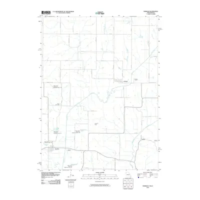
2010 Map of Sheridan
USGS Topo · Published 2010About this map
Sheridan and the small settlements of Athelstan and Isadora define this rural landscape along the Missouri-Iowa border in 2010. The hydrology of the region is highly managed, dominated by the Platte River and its numerous watershed dams, which have created local water bodies such as Aldrich Lake, Bonnies Lake, and Hoover Lake. The terrain is marked by the distinctive Devils Horn and drained by the Grand River and X Branch. Small-scale agricultural infrastructure is evident in the presence of the Arthur Scott Dam, while the local history of the area is preserved in the Sheridan Cemetery, Athelstan Cemetery, and Isadora Cemetery. A grid of county roads and avenues, including Missouri-Taylor St and Quail Ave, connects these quiet communities across the state line.
Find a feature on this map
48 named features on this map. Tap any name to fly to it.
Don’t see what you’re looking for? This feature index may not catch every label — zoom into the map to look around manually.
Map Details
Editions of this 2010 Sheridan Map
This is the sole edition of this map. No revisions or reprints were ever made.
Other maps of this area

1940 · Blockton
USGS Topo · 1:62,500

1940 · Bedford
USGS Topo · 1:62,500

1940 · Parnell
USGS Topo · 1:62,500

1942 · Grant City
USGS Topo · 1:62,500

1943 · Bedford
USGS Topo · 1:62,500

1943 · Parnell
USGS Topo · 1:62,500

1943 · Grant City
USGS Topo · 1:62,500

1943 · Blockton
USGS Topo · 1:62,500

1955 · Nebraska City
USGS Topo · 1:250,000

1957 · Nebraska City
USGS Topo · 1:250,000