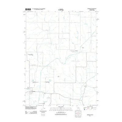
2011 Map of Sheridan
USGS Topo · Published 2011About this map
Sheridan anchors the southwestern portion of this landscape where the Platte River and its various branches, such as Platte Branch, dominate the drainage pattern. The map reveals a rural agricultural network defined by a grid of numbered streets and named avenues like Tennessee Ave and Vail Ave, crossing the border between Missouri and Iowa. Small clusters of settlement at Athelstan and Isadora are situated near their respective namesake burial grounds, Athelstan Cemetery and Isadora Cemetery.
Find a feature on this map
59 named features on this map. Tap any name to fly to it.
Don’t see what you’re looking for? This feature index may not catch every label — zoom into the map to look around manually.
Map Details
Editions of this 2011 Sheridan Map
This is the sole edition of this map. No revisions or reprints were ever made.
Other maps of this area

1940 · Blockton
USGS Topo · 1:62,500

1940 · Bedford
USGS Topo · 1:62,500

1940 · Parnell
USGS Topo · 1:62,500

1942 · Grant City
USGS Topo · 1:62,500

1943 · Bedford
USGS Topo · 1:62,500

1943 · Parnell
USGS Topo · 1:62,500

1943 · Grant City
USGS Topo · 1:62,500

1943 · Blockton
USGS Topo · 1:62,500

1955 · Nebraska City
USGS Topo · 1:250,000

1957 · Nebraska City
USGS Topo · 1:250,000