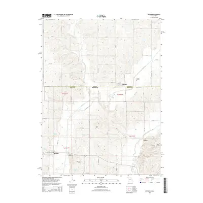
2014 Map of Sheridan
USGS Topo · Published 2014About this map
Sheridan anchors the southern portion of this landscape at the intersection of local routes like W Noble St and W Walnut St, situated just south of the Iowa Missouri state line. The terrain is defined by the winding course of the Platte River and its tributary, Platte Br, which carve through the undulating hills of Worth County. To the east, the Grand River flows near the settlement of Isadora, where the Isadora Cemetery serves as a local landmark.
Find a feature on this map
52 named features on this map. Tap any name to fly to it.
Don’t see what you’re looking for? This feature index may not catch every label — zoom into the map to look around manually.
Map Details
Editions of this 2014 Sheridan Map
This is the sole edition of this map. No revisions or reprints were ever made.
Other maps of this area

1940 · Blockton
USGS Topo · 1:62,500

1940 · Bedford
USGS Topo · 1:62,500

1940 · Parnell
USGS Topo · 1:62,500

1942 · Grant City
USGS Topo · 1:62,500

1943 · Bedford
USGS Topo · 1:62,500

1943 · Parnell
USGS Topo · 1:62,500

1943 · Grant City
USGS Topo · 1:62,500

1943 · Blockton
USGS Topo · 1:62,500

1955 · Nebraska City
USGS Topo · 1:250,000

1957 · Nebraska City
USGS Topo · 1:250,000