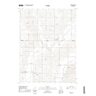
2017 Map of Sheridan
USGS Topo · Published 2017About this map
Sheridan anchors the southern portion of this region along the Platte River, serving as a central point for the surrounding agricultural community. The landscape is defined by the winding paths of the Platte River and the Grand River in the east, which carve through the borderlands between Missouri and Iowa. Further north, the small settlement of Athelstan sits directly on the state line, while Isadora marks the eastern reaches near the Grand River. These small communities are connected by a network of county roads and state highways, reflecting a rural lifestyle dependent on these arterial routes.
Find a feature on this map
70 named features on this map. Tap any name to fly to it.
Don’t see what you’re looking for? This feature index may not catch every label — zoom into the map to look around manually.
Map Details
Editions of this 2017 Sheridan Map
This is the sole edition of this map. No revisions or reprints were ever made.
Other maps of this area

1940 · Blockton
USGS Topo · 1:62,500

1940 · Bedford
USGS Topo · 1:62,500

1940 · Parnell
USGS Topo · 1:62,500

1942 · Grant City
USGS Topo · 1:62,500

1943 · Bedford
USGS Topo · 1:62,500

1943 · Parnell
USGS Topo · 1:62,500

1943 · Grant City
USGS Topo · 1:62,500

1943 · Blockton
USGS Topo · 1:62,500

1955 · Nebraska City
USGS Topo · 1:250,000

1957 · Nebraska City
USGS Topo · 1:250,000