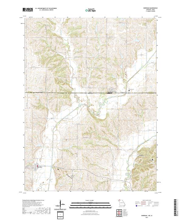
2021 Map of Sheridan
USGS Topo · Published 2021About this map
The town of Sheridan anchors the southwestern corner of this survey, situated at the junction of State Hwy H and the Platte River. This landscape along the Missouri-Iowa border is defined by a dense network of river-fed basins, including Bonnies Lake, Sanders Lake, and Hoover Lake. To the north, the small community of Athelstan straddles the state line, its residential streets such as Walnut St and Long St positioned just above the winding Platte River.
Find a feature on this map
68 named features on this map. Tap any name to fly to it.
Don’t see what you’re looking for? This feature index may not catch every label — zoom into the map to look around manually.
Map Details
Editions of this 2021 Sheridan Map
This is the sole edition of this map. No revisions or reprints were ever made.
Other maps of this area

1940 · Blockton
USGS Topo · 1:62,500

1940 · Bedford
USGS Topo · 1:62,500

1940 · Parnell
USGS Topo · 1:62,500

1942 · Grant City
USGS Topo · 1:62,500

1943 · Bedford
USGS Topo · 1:62,500

1943 · Parnell
USGS Topo · 1:62,500

1943 · Grant City
USGS Topo · 1:62,500

1943 · Blockton
USGS Topo · 1:62,500

1955 · Nebraska City
USGS Topo · 1:250,000

1957 · Nebraska City
USGS Topo · 1:250,000