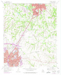
1958 Map of Sherman
USGS Topo · Published 1975About this map
Sherman and Denison define the landscape of Grayson County in this mid-century survey, updated in the 1970s to reflect post-war suburban expansion. The historic campus of Austin College stands as a central landmark in Sherman, surrounded by a dense network of neighborhood schools like Crockett Sch and Douglass High Sch. The region's transport identity is tied to the rails, with the Missouri Kansas Texas, Southern Pacific, and Texas and Pacific lines converging at hubs such as North Sherman Junction.
Find a feature on this map
52 named features on this map. Tap any name to fly to it.
Don’t see what you’re looking for? This feature index may not catch every label — zoom into the map to look around manually.
Map Details
Editions of this 1958 Sherman Map
3 editions found

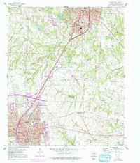
Other maps of this area

1901 · Denison
USGS Topo · 1:125,000

1954 · Sherman
USGS Topo · 1:250,000

1957 · Denison Dam
USGS Topo · 1:24,000

1958 · Durant
USGS Topo · 1:62,500

1958 · Dorchester
USGS Topo · 1:24,000

1958 · Whitesright
USGS Topo · 1:62,500

1958 · Denison Dam
USGS Topo · 1:62,500

1958 · Sherman NW
USGS Topo · 1:24,000

1958 · Sherman
USGS Topo · 1:250,000

1958 · Sherman
USGS Topo · 1:62,500