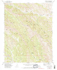
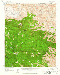
1969 Map of Sherman Peak
USGS Topo · Published 1986About this map
Sherman Peak rises as a central landmark within this portion of the Coast Ranges, anchoring a landscape defined by the long spine of Juniper Ridge and the Bald Mountain range. The survey captures a network of intermittent water sources vital to this arid terrain, including Moonshine Spring, Hollyhock Spring, and Freitas Spring. Human activity is concentrated along the northern and southern edges, where Los Gatos Creek County Park and a small cemetery near Los Gatos Creek mark early local history.
Find a feature on this map
54 named features on this map. Tap any name to fly to it.
Don’t see what you’re looking for? This feature index may not catch every label — zoom into the map to look around manually.
Map Details
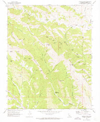
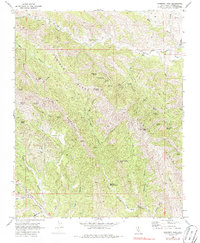
Editions of this 1969 Sherman Peak Map
3 editions found
Other maps of this area

1912 · Coalinga
USGS Topo · 1:125,000

1915 · Priest Valley
USGS Topo · 1:125,000

1941 · Priest Valley
USGS Topo · 1:62,500

1943 · New Idria
USGS Topo · 1:62,500

1943 · Joaquin Rocks
USGS Topo · 1:62,500
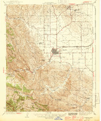
1944 · Coalinga
USGS Topo · 1:62,500

1944 · Priest Valley
USGS Topo · 1:62,500

1948 · Santa Cruz
USGS Topo · 1:250,000

1955 · Santa Cruz
USGS Topo · 1:250,000
1956 · New Idria
USGS Topo · 1:62,500