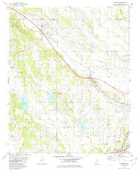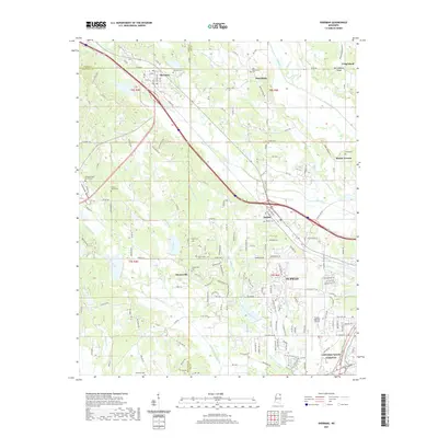
1955 Map of Sherman
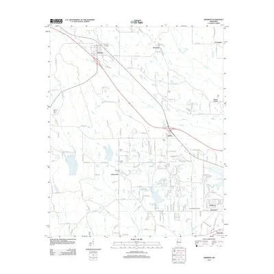
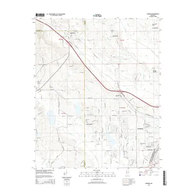
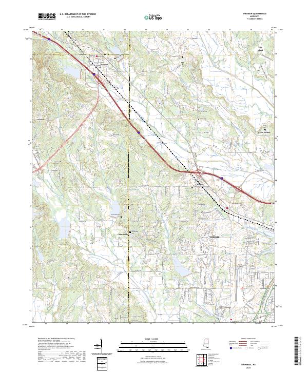
USGS Topo · Published 1976About this map
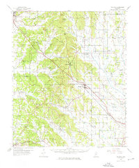
The St Louis-San Francisco railway corridor anchors this mid-century look at the northeast Mississippi uplands, connecting the growing hub of Tupelo with smaller settlements like Sherman and Blue Springs. The landscape is a network of ridges and creek bottoms, where family-named landmarks such as Grubb Hill and Buncombe Hill rise above the agricultural valleys of Connewah Creek and Mud Creek. A high density of rural institutions suggests a well-established social fabric, with New Harmony Ch, Bethel Ch, and numerous burial grounds like Cherry Creek Cem serving the surrounding farming communities.
Find a feature on this map
102 named features on this map. Tap any name to fly to it.
Don’t see what you’re looking for? This feature index may not catch every label — zoom into the map to look around manually.
Map Details
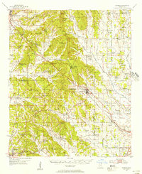
Editions of this 1955 Sherman Map
2 editions found
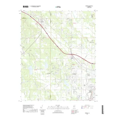
Historical Maps of Tupelo Through Time
7 maps found