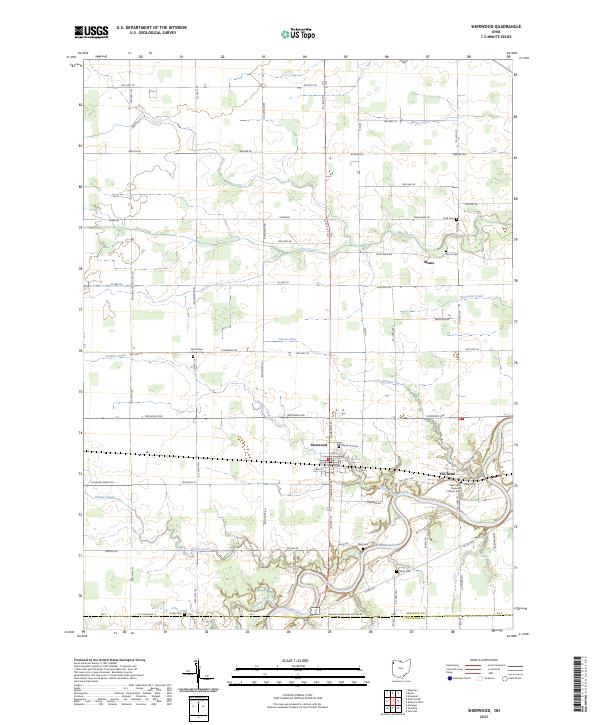
2023 Map of Sherwood
USGS Topo · Published 2023About this map
The Maumee River defines the southern landscape of this Northwest Ohio region, winding through the sharp oxbow known as The Bend. The village of Sherwood serves as the primary hub, where a grid of local streets including Harrison St and Pearl St meets the rural hinterland. This area is heavily marked by its local history, evidenced by a dense concentration of burial grounds such as Sherwood Cem, Blair Cem, and Glore Cem that pepper the riverbanks and crossroads.
Find a feature on this map
81 named features on this map. Tap any name to fly to it.
Don’t see what you’re looking for? This feature index may not catch every label — zoom into the map to look around manually.
Map Details
Editions of this 2023 Sherwood Map
This is the sole edition of this map. No revisions or reprints were ever made.
Historical Maps of Paulding County Through Time
10 maps found
1959 Defiance East
Defiance County, OH
1960 Ayersville
Defiance County, OH
1960 Defiance West
Defiance County, OH
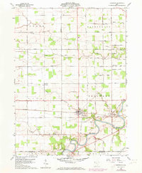
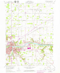
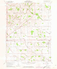
1960 Sherwood
Defiance County, OH
1961 Mark Center
Defiance County, OH
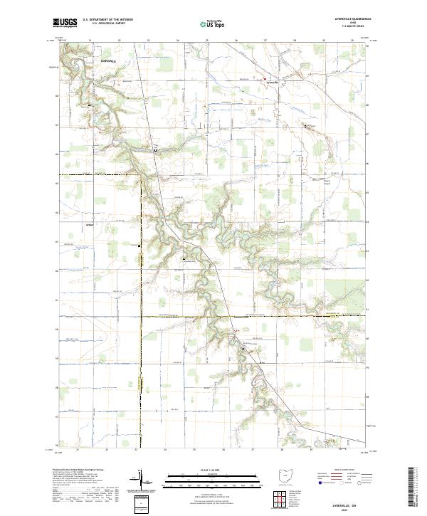
2023 Ayersville
Defiance County, OH
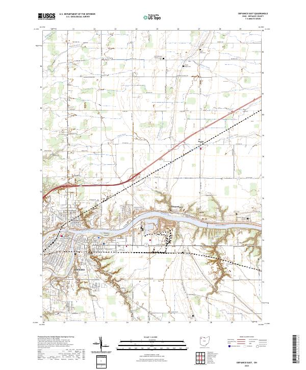
2023 Defiance East
Defiance County, OH
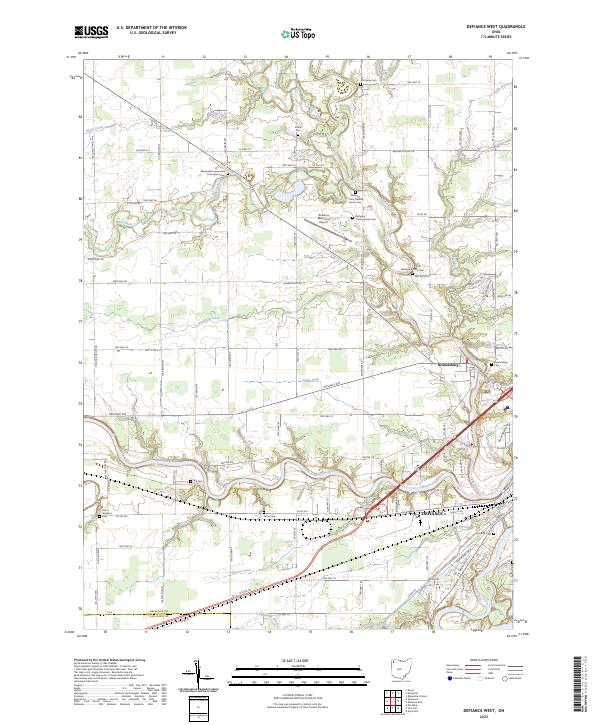
2023 Defiance West
Defiance County, OH
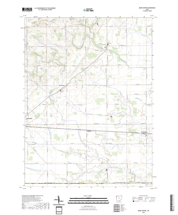
2023 Mark Center
Defiance County, OH
2023 Sherwood
Defiance County, OH
Featured Locations
- Sherwood Township, OH
- Tiffin Township, OH
- Farmer Township, OH
- Mark Township, OH
- Sherwood, Sherwood Township