
1895 Map of Sherwood
USGS Topo · Published 1895About this map
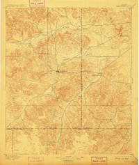
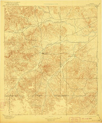
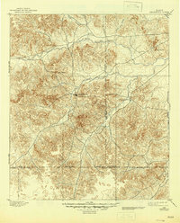
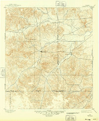
The West Texas frontier in the 1890s appears as a land of wide drainage basins and scattered cattle-country settlements. Sherwood, then the nascent county seat of Irion County, sits as the central hub near the confluence of Spring Creek and other major tributaries. The settlement of Knickerbocker lies to the east along Dove Creek, while Arden is positioned further north near the Middle Concho River. This 1893 survey by W.H. Herron meticulously records the complex terrain of the Edwards Plateau, highlighting prominent landmarks like Lopez Peaks and the Twin Buttes. The map reveals how early ranching-era movement followed the waterways, with the South Concho River and Live Oak Creek providing critical orientation for travelers and homesteaders across the expansive divide between Tom Green and Schleicher counties.
Find a feature on this map
17 named features on this map. Tap any name to fly to it.
Don’t see what you’re looking for? This feature index may not catch every label — zoom into the map to look around manually.
Map Details
Editions of this 1895 Sherwood Map
5 editions found
Other maps of this area

1891 · Hayrick
USGS Topo · 1:125,000

1892 · San Angelo
USGS Topo · 1:125,000

1893 · Fort McKavett
USGS Topo · 1:125,000

1894 · Hayrick
USGS Topo · 1:125,000

1920 · Barnhart
USGS Topo · 1:62,500

1921 · Ketchum Mountain
USGS Topo · 1:62,500

1922 · Barnhart
USGS Topo · 1:62,500

1923 · Ketchum Mountain
USGS Topo · 1:62,500

1924 · San Angelo 2-c
USGS Topo · 1:48,000

1924 · Sherwood 1-d
USGS Topo · 1:48,000