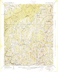
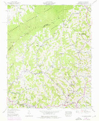
1938 Map of Sherwood
USGS Topo · Published 1938About this map
Sherwood and the winding valley of Cove Creek anchor this late-1930s survey of the high country straddling the North Carolina and Tennessee border. The landscape is defined by the massive slopes of the Cherokee National Forest and Pisgah National Forest, where high ridges like Frozenhead Ridge and summits such as The Bald overlook a deeply carved network of hollows and gaps. The settlement pattern reveals a series of closely-knit mountain communities connected by the early alignment of U.S. Highway 421, with Amantha and Mabel serving as vital hubs along the creek bottoms.
Find a feature on this map
120 named features on this map. Tap any name to fly to it.
Don’t see what you’re looking for? This feature index may not catch every label — zoom into the map to look around manually.
Map Details
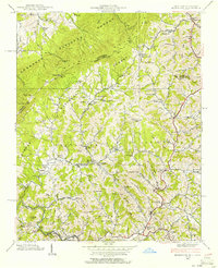
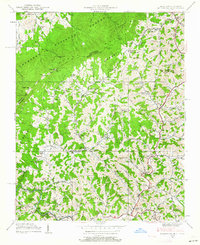
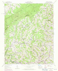
Editions of this 1938 Sherwood Map
5 editions found
Other maps of this area

1893 · Cranberry
USGS Topo · 1:125,000

1895 · Cranberry
USGS Topo · 1:125,000

1899 · Cranberry
USGS Topo · 1:125,000

1902 · Cranberry
USGS Topo · 1:125,000

1934 · Valle Crucis
USGS Topo · 1:24,000

1934 · Elk Park
USGS Topo · 1:24,000

1934 · Boone
USGS Topo · 1:24,000
1935 · Doe
USGS Topo · 1:24,000

1935 · Baldwin Gap
USGS Topo · 1:24,000

1935 · Doe Mountain
USGS Topo · 1:48,000