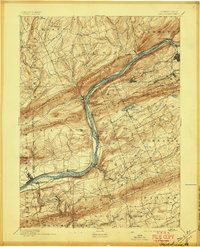
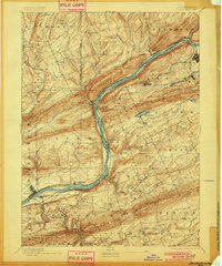
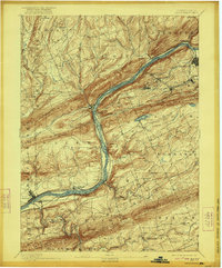
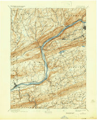
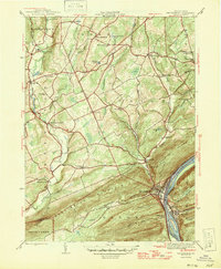
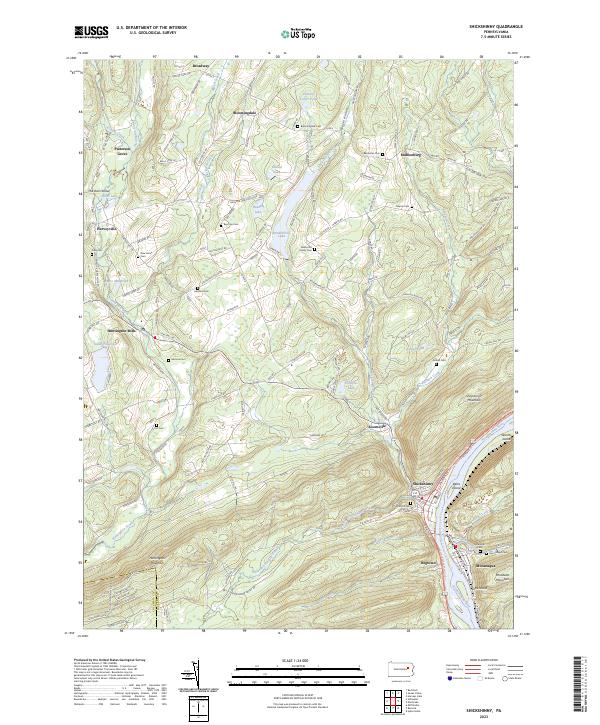
1894 Map of Shickshinny
USGS Topo · Published 1897About this map
The Susquehanna River serves as the industrial and transit spine of this 1890s Luzerne County landscape, flanked by the Pennsylvania Canal North Branch Division and several competing railroads. In the anthracite-rich valleys between Shickshinny Mountain and Nescopeck Mountain, mining settlements such as Glen Lyon and Wanamie appear alongside the larger hubs of Nanticoke and Shickshinny.
Find a feature on this map
80 named features on this map. Tap any name to fly to it.
Don’t see what you’re looking for? This feature index may not catch every label — zoom into the map to look around manually.
Map Details
Editions of this 1894 Shickshinny Map
6 editions found


Historical Maps of Nanticoke Through Time
9 maps found
1894 Shickshinny
Luzerne County, PA
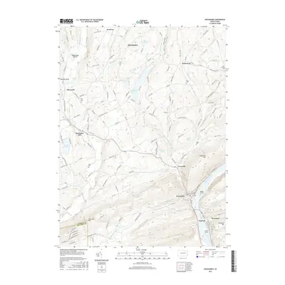
1946 Shickshinny
Luzerne County, PA
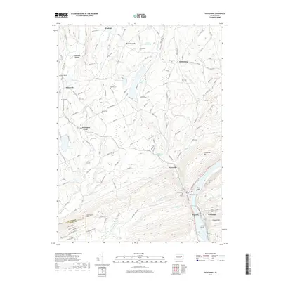
1954 Shickshinny
Luzerne County, PA
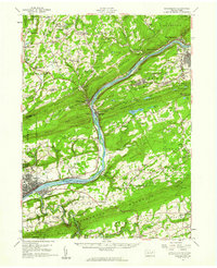
1955 Shickshinny
Luzerne County, PA
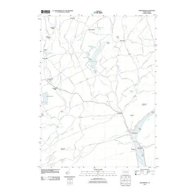
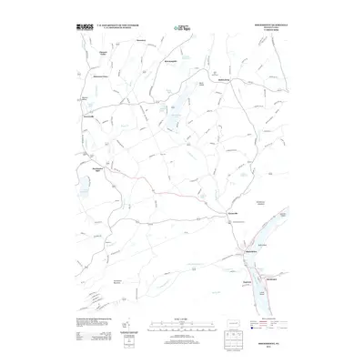
2010 Shickshinny
Luzerne County, PA
2013 Shickshinny
Luzerne County, PA
2016 Shickshinny
Luzerne County, PA
2019 Shickshinny
Luzerne County, PA
2023 Shickshinny
Luzerne County, PA