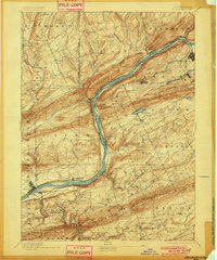
1894 Map of Shickshinny
USGS Topo · Published 1901About this map
The Susquehanna River carves a deep path through Luzerne County, serving as the primary corridor for industry and transport at the close of the 19th century. This area is defined by the heavy presence of both water and rail infrastructure, where the North Branch Canal and Pennsylvania Canal parallel the riverbanks alongside competing lines like the Pennsylvania R. R. and the Delaware Lackawanna and Western R. R. Near Shickshinny, the landscape transitions from the agricultural valley of Huntington to the industrial coal-producing regions of Newport and Hanover. The map documents a critical era before bridges became ubiquitous, marking the Beach Haven Ferry and Hicks Ferry as essential river crossings. Significant mining operations are evident at Glen Lyon and Wanamie, while smaller settlements like Bloomingdale and Muhlenburg dot the upland plateaus between Shickshinny Mountain and Nescopeck Mountain.
Find a feature on this map
66 named features on this map. Tap any name to fly to it.
Don’t see what you’re looking for? This feature index may not catch every label — zoom into the map to look around manually.
Map Details
Editions of this 1894 Shickshinny Map
6 editions found

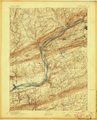

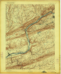
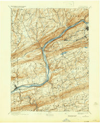
Other maps of this area

1889 · Catawissa
USGS Topo · 1:62,500

1889 · Hazleton
USGS Topo · 1:62,500

1891 · Wilkesbarre
USGS Topo · 1:62,500

1891 · Hazleton
USGS Topo · 1:62,500

1891 · Harveys Lake
USGS Topo · 1:62,500

1892 · Catawissa
USGS Topo · 1:62,500

1892 · Mahanoy
USGS Topo · 1:62,500

1893 · Hazleton
USGS Topo · 1:62,500

1893 · Harvey Lake
USGS Topo · 1:62,500

1893 · Pittston
USGS Topo · 1:62,500