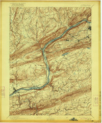
1894 Map of Shickshinny
USGS Topo · Published 1922About this map
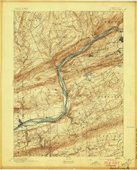
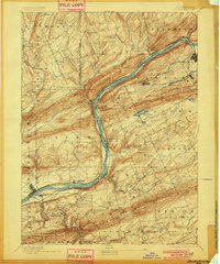
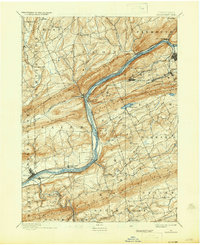
The Susquehanna River carves a deep valley through the ridge-and-valley landscape of Luzerne and Columbia counties, serving as a primary corridor for 19th-century industrial transit. This survey, conducted in 1890, captures the heavy reliance on waterway infrastructure prior to the full dominance of the railroad, specifically highlighting the Pennsylvania Canal running parallel to the river. Transportation hubs like Shickshinny and Mocanaqua sit at critical junctions where the river breaks through the massive Shickshinny Mountain.
Find a feature on this map
63 named features on this map. Tap any name to fly to it.
Don’t see what you’re looking for? This feature index may not catch every label — zoom into the map to look around manually.
Map Details
Editions of this 1894 Shickshinny Map
6 editions found


Other maps of this area

1889 · Catawissa
USGS Topo · 1:62,500

1889 · Hazleton
USGS Topo · 1:62,500

1891 · Wilkesbarre
USGS Topo · 1:62,500

1891 · Hazleton
USGS Topo · 1:62,500

1891 · Harveys Lake
USGS Topo · 1:62,500

1892 · Catawissa
USGS Topo · 1:62,500

1892 · Mahanoy
USGS Topo · 1:62,500

1893 · Hazleton
USGS Topo · 1:62,500

1893 · Harvey Lake
USGS Topo · 1:62,500

1893 · Pittston
USGS Topo · 1:62,500