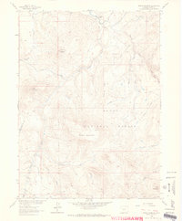
1962 Map of Shield Mountain
USGS Topo · Published 1964About this map
Little Snake River headwaters define this high-altitude landscape within the Routt National Forest. The map, field-checked in the early 1960s, documents a transition from the riparian valleys of the North Fork and Middle Fork to the prominent peaks of Shield Mountain and Three Forks Mountain. Human presence is concentrated near the Three Forks Ranch, where a small Cem (cemetery) sits overlooking the confluence of mountain streams.
Find a feature on this map
31 named features on this map. Tap any name to fly to it.
Don’t see what you’re looking for? This feature index may not catch every label — zoom into the map to look around manually.
Map Details
Editions of this 1962 Shield Mountain Map
4 editions found
Other maps of this area

1911 · Hahns Peak
USGS Topo · 1:125,000

1913 · Hahns Peak
USGS Topo · 1:125,000

1932 · Savery
USGS Topo · 1:96,000

1939 · Saratoga
USGS Topo · 1:125,000

1940 · Savery
USGS Topo · 1:125,000

1954 · Rawlins
USGS Topo · 1:250,000

1954 · Craig
USGS Topo · 1:250,000

1957 · Craig
USGS Topo · 1:250,000

1958 · Rawlins
USGS Topo · 1:250,000

1958 · Craig
USGS Topo · 1:250,000