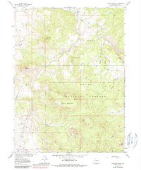
1962 Map of Shield Mountain
USGS Topo · Published 1985About this map
Routt National Forest dominates this high-altitude landscape, where the headwaters of the Snake River converge. The topography is defined by the three branches of the river—the North Fork, Middle Fork, and South Fork—which carve deep drainages around peaks like Shield Mountain and Three Forks Mountain. Human presence in the early 1960s was sparse, concentrated primarily at the Three Forks Ranch near the northern boundary, where a small Cem is noted. A network of jeep trails and pack trails provides the only access across the prominent Deadhorse Ridge and through the steep valleys of Beeler Gulch and Tennessee Creek. The settlement at Johnson sits along the Johnson Creek drainage, illustrating the isolated ranching and resource patterns of this part of Colorado before modern development further altered the wilderness access.
Find a feature on this map
29 named features on this map. Tap any name to fly to it.
Don’t see what you’re looking for? This feature index may not catch every label — zoom into the map to look around manually.
Map Details
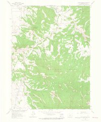
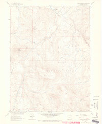
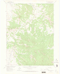
Editions of this 1962 Shield Mountain Map
4 editions found
Other maps of this area

1911 · Hahns Peak
USGS Topo · 1:125,000

1913 · Hahns Peak
USGS Topo · 1:125,000

1932 · Savery
USGS Topo · 1:96,000

1939 · Saratoga
USGS Topo · 1:125,000

1940 · Savery
USGS Topo · 1:125,000

1954 · Rawlins
USGS Topo · 1:250,000

1954 · Craig
USGS Topo · 1:250,000

1957 · Craig
USGS Topo · 1:250,000

1958 · Rawlins
USGS Topo · 1:250,000

1958 · Craig
USGS Topo · 1:250,000