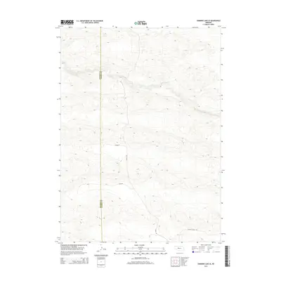
2014 Map of Shimmins Lake SE
USGS Topo · Published 2014About this map
The Dismal River carves a distinct path through the Nebraska Sandhills, marking the primary topographical focus of this rural landscape. This modern survey illustrates the sparse human footprint in this part of the plains, where the Hooker Co Thomas Co boundary line bisects the region's expansive dune formations. Local transportation and access are defined by a modest network of named routes such as Fuller Rd and Childers Ln, which navigate the depressions between the sandy ridges. Farther south, the grid-like orientation of S Seneca Ave and Peaceful Plains Rd indicates how the land has been organized for ranching and limited homesteading, preserving the characteristic isolation of the central Nebraska ranching country.
Find a feature on this map
6 named features on this map. Tap any name to fly to it.
Don’t see what you’re looking for? This feature index may not catch every label — zoom into the map to look around manually.
Map Details
Editions of this 2014 Shimmins Lake SE Map
This is the sole edition of this map. No revisions or reprints were ever made.
Other maps of this area

1948 · Thedford
USGS Topo · 1:62,500

1949 · Cody Lake
USGS Topo · 1:62,500

1950 · Thedford
USGS Topo · 1:62,500

1950 · Shimmins Lake
USGS Topo · 1:62,500

1951 · Tryon
USGS Topo · 1:62,500

1951 · Cody Lake
USGS Topo · 1:62,500

1954 · North Platte
USGS Topo · 1:250,000

1956 · North Platte
USGS Topo · 1:250,000

1957 · North Platte
USGS Topo · 1:250,000

1967 · North Platte
USGS Topo · 1:250,000