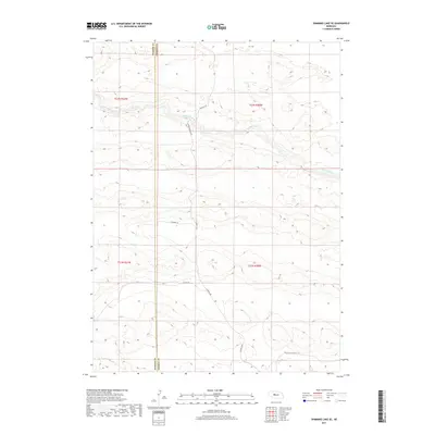
2017 Map of Shimmins Lake SE
USGS Topo · Published 2017About this map
The Dismal River carves a winding path across the Nebraska Sandhills, defining the remote landscape of Hooker Co and Thomas Co. This 2017 survey illustrates the sparse, ranch-oriented settlement pattern of the region, where connectivity is maintained by a handful of arterial tracks including S Seneca Ave and Ringold Seneca Rd. The topographical data highlights the complex dune formations and high-relief sand hills that surround the river valley, a terrain that has historically dictated the placement of local thoroughfares like Fuller Ln and Childers Ln. The southern reaches of the map show the transition into more level grazing lands along Peaceful Plains Rd.
Find a feature on this map
11 named features on this map. Tap any name to fly to it.
Don’t see what you’re looking for? This feature index may not catch every label — zoom into the map to look around manually.
Map Details
Editions of this 2017 Shimmins Lake SE Map
This is the sole edition of this map. No revisions or reprints were ever made.
Other maps of this area

1948 · Thedford
USGS Topo · 1:62,500

1949 · Cody Lake
USGS Topo · 1:62,500

1950 · Thedford
USGS Topo · 1:62,500

1950 · Shimmins Lake
USGS Topo · 1:62,500

1951 · Tryon
USGS Topo · 1:62,500

1951 · Cody Lake
USGS Topo · 1:62,500

1954 · North Platte
USGS Topo · 1:250,000

1956 · North Platte
USGS Topo · 1:250,000

1957 · North Platte
USGS Topo · 1:250,000

1967 · North Platte
USGS Topo · 1:250,000