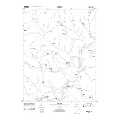
2011 Map of Shinnston
USGS Topo · Published 2011About this map
Shinnston and the surrounding coal and rail communities of Harrison County are situated along the meandering West Fork River in this 2011 survey. The map documents the industrial legacy of the region, featuring infrastructure such as the Williams Mine and the Robinson Run Mine Number 95 Dam. This landscape is marked by a high density of small settlements that grew around the extraction and transport of local resources, including Idamay, Carolina, and Lumberport.
Find a feature on this map
146 named features on this map. Tap any name to fly to it.
Don’t see what you’re looking for? This feature index may not catch every label — zoom into the map to look around manually.
Map Details
Editions of this 2011 Shinnston Map
This is the sole edition of this map. No revisions or reprints were ever made.
Other maps of this area

1902 · Clarksburg
USGS Topo · 1:62,500

1902 · Fairmont
USGS Topo · 1:62,500

1904 · Blacksville
USGS Topo · 1:62,500

1905 · Mannington
USGS Topo · 1:62,500

1910 · Clarksburg
USGS Topo · 1:62,500

1923 · Blacksville
USGS Topo · 1:62,500

1923 · Fairmont
USGS Topo · 1:62,500

1923 · Mannington
USGS Topo · 1:62,500

1923 · Clarksburg
USGS Topo · 1:62,500

1925 · Blacksville
USGS Topo · 1:62,500