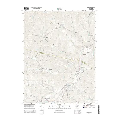
2014 Map of Shinnston
USGS Topo · Published 2014About this map
The West Fork River winds through the heart of this landscape, separating the mining and industrial heritage of northern Harrison County from Marion County. This survey reveals a dense cluster of coal-country settlements, including Idamay, Carolina, and Four States, which once served the regional extractive economy. The terrain is marked by numerous family and community burial grounds, such as Hess Cem and McIntyre Cem, providing a detailed record of the local genealogy.
Find a feature on this map
98 named features on this map. Tap any name to fly to it.
Don’t see what you’re looking for? This feature index may not catch every label — zoom into the map to look around manually.
Map Details
Editions of this 2014 Shinnston Map
This is the sole edition of this map. No revisions or reprints were ever made.
Other maps of this area

1902 · Clarksburg
USGS Topo · 1:62,500

1902 · Fairmont
USGS Topo · 1:62,500

1904 · Blacksville
USGS Topo · 1:62,500

1905 · Mannington
USGS Topo · 1:62,500

1910 · Clarksburg
USGS Topo · 1:62,500

1923 · Blacksville
USGS Topo · 1:62,500

1923 · Fairmont
USGS Topo · 1:62,500

1923 · Mannington
USGS Topo · 1:62,500

1923 · Clarksburg
USGS Topo · 1:62,500

1925 · Blacksville
USGS Topo · 1:62,500