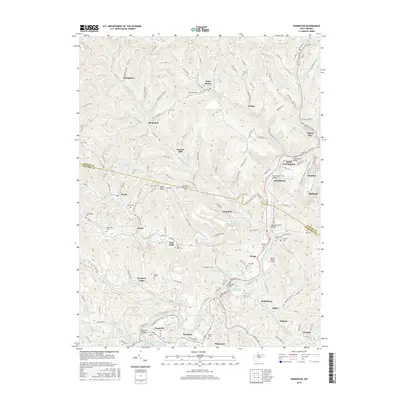
2016 Map of Shinnston
USGS Topo · Published 2016About this map
Shinnston and the surrounding river valleys of northern Harrison Co and southern Marion Co are defined by a complex drainage network feeding into the West Fork River. This landscape is heavily shaped by its industrial and agricultural history, visible through named landmarks like Williams Mine and the remnant infrastructure at Sturms Mill. The region's genealogy is remarkably well-preserved across the terrain, with family-named burial grounds such as McIntyre Cem, Wamsley Cem, and Duncan Cem dotting the ridges and hollows.
Find a feature on this map
133 named features on this map. Tap any name to fly to it.
Don’t see what you’re looking for? This feature index may not catch every label — zoom into the map to look around manually.
Map Details
Editions of this 2016 Shinnston Map
This is the sole edition of this map. No revisions or reprints were ever made.
Other maps of this area

1902 · Clarksburg
USGS Topo · 1:62,500

1902 · Fairmont
USGS Topo · 1:62,500

1904 · Blacksville
USGS Topo · 1:62,500

1905 · Mannington
USGS Topo · 1:62,500

1910 · Clarksburg
USGS Topo · 1:62,500

1923 · Blacksville
USGS Topo · 1:62,500

1923 · Fairmont
USGS Topo · 1:62,500

1923 · Mannington
USGS Topo · 1:62,500

1923 · Clarksburg
USGS Topo · 1:62,500

1925 · Blacksville
USGS Topo · 1:62,500