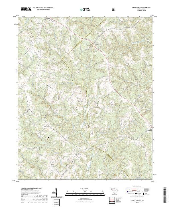
2024 Map of Shoals Junction
USGS Topo · Published 2024About this map
Long Cane Creek and its many tributaries, including Pickens Creek and Miller Branch, carve a complex drainage pattern across this section of the South Carolina Upcountry. The landscape is dotted with small rural nodes such as Arborville and Central-Shiloh, where the historical footprint of the community is anchored by sites like Old Gilgal Cem and the nearby Gilgal Cem. These locations offer a look at the local genealogy and settlement patterns of Abbeville and Greenwood Counties.
Find a feature on this map
94 named features on this map. Tap any name to fly to it.
Don’t see what you’re looking for? This feature index may not catch every label — zoom into the map to look around manually.
Map Details
Editions of this 2024 Shoals Junction Map
This is the sole edition of this map. No revisions or reprints were ever made.
Other maps of this area

1892 · Abbeville
USGS Topo · 1:125,000

1948 · Abbeville East
USGS Topo · 1:24,000

1948 · Abbeville West
USGS Topo · 1:24,000

1949 · Abbeville
USGS Topo · 1:24,000

1949 · Greenwood
USGS Topo · 1:24,000

1950 · Abbeville East
USGS Topo · 1:24,000

1954 · Greenville
USGS Topo · 1:250,000

1958 · Greenville
USGS Topo · 1:250,000
1970 · Honea Path
USGS Topo · 1:24,000
1971 · Cokesbury
USGS Topo · 1:24,000