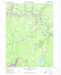
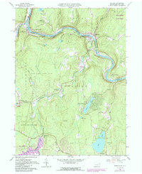
1965 Map of Shohola
USGS Topo · Published 1974About this map
The Delaware River serves as the focal point for this 1965 survey, winding through the valley where Pennsylvania meets New York. The river's path is closely followed by the Erie-Lackawanna railroad, which connects the riverside hamlets of Shohola and Barryville. This corridor reflects a long history of transportation and conflict, anchored by the Minisink Battlefield Memorial and the Minisink Ford on the northern banks. The surrounding uplands, including German Hill and Bald Hill, are characterized by a transition from early agricultural settlements to conservation, evidenced by the large tracts of State Game Lands No 116. Genealogists will find significant local landmarks such as Woodtown Cem and several community churches like St Marks Ch, while the southern reaches showcase the recreational development of Twin Lakes and Walker Lake.
Find a feature on this map
56 named features on this map. Tap any name to fly to it.
Don’t see what you’re looking for? This feature index may not catch every label — zoom into the map to look around manually.
Map Details
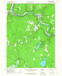
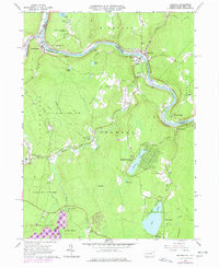
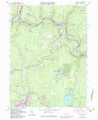
Editions of this 1965 Shohola Map
5 editions found
Other maps of this area

1913 · Milford
USGS Topo · 1:62,500

1915 · Milford
USGS Topo · 1:62,500

1920 · Damascus
USGS Topo · 1:62,500

1922 · White Lake
USGS Topo · 1:62,500

1923 · Damascus
USGS Topo · 1:62,500

1935 · Hawley
USGS Topo · 1:62,500

1938 · Hawley
USGS Topo · 1:62,500

1942 · White Lake
USGS Topo · 1:62,500

1943 · Honesdale
USGS Topo · 1:125,000

1943 · White Lake
USGS Topo · 1:62,500