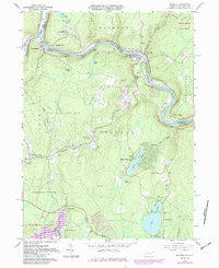
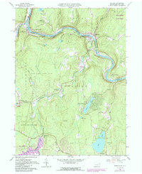
1965 Map of Shohola
USGS Topo · Published 1984About this map
Shohola and Lackawaxen sit at a prominent bend in the Delaware River during the mid-1960s, a period marked by the transition of the regional transportation network. The Conrail line follows the river's winding course, mirroring the historical path of trade and travel through the Shohola highlands. On the New York side of the border, the Minisink Battleground Park monument commemorates local history, while the surrounding landscape is defined by a series of upland lakes such as Walker Lake, Twin Lakes, and Sylvania Lake. This survey captures the rural social fabric of Pike County through its distribution of community landmarks, including the Shohola School and several country churches like St Anns Ch and St Jacobi Ch. The map also details the extensive State Game Lands No 116, showing a terrain deeply integrated with both conservation and long-standing river settlements.
Find a feature on this map
60 named features on this map. Tap any name to fly to it.
Don’t see what you’re looking for? This feature index may not catch every label — zoom into the map to look around manually.
Map Details
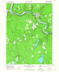
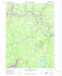
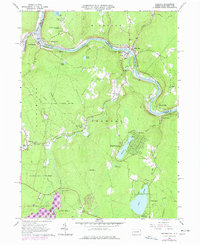
Editions of this 1965 Shohola Map
5 editions found
Other maps of this area

1913 · Milford
USGS Topo · 1:62,500

1915 · Milford
USGS Topo · 1:62,500

1920 · Damascus
USGS Topo · 1:62,500

1922 · White Lake
USGS Topo · 1:62,500

1923 · Damascus
USGS Topo · 1:62,500

1935 · Hawley
USGS Topo · 1:62,500

1938 · Hawley
USGS Topo · 1:62,500

1942 · White Lake
USGS Topo · 1:62,500

1943 · Honesdale
USGS Topo · 1:125,000

1943 · White Lake
USGS Topo · 1:62,500