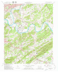
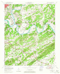
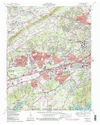
1979 Map of Shooks Gap
USGS Topo · Published 1979This historical map portrays the area of Shooks Gap in 1979, primarily covering Knox County as well as portions of Blount County and Sevier County. Featuring a scale of 1:24000, this map provides a highly detailed snapshot of the terrain, roads, buildings, counties, and historical landmarks in the Shooks Gap region at the time. Published in 1979, it is one of 4 known editions of this map due to revisions or reprints.
Find a feature on this map
133 named features on this map. Tap any name to fly to it.
Don’t see what you’re looking for? This feature index may not catch every label — zoom into the map to look around manually.
Map Details
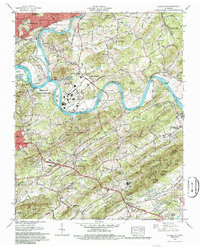
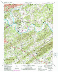
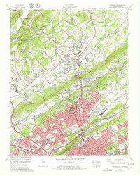
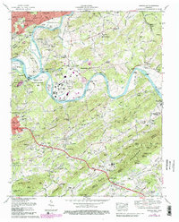
Editions of this 1979 Shooks Gap Map
4 editions found
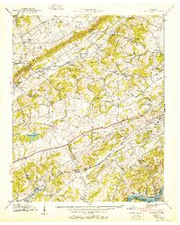
Historical Maps of Neubert Springs Through Time
24 maps found

1935 Bearden
Knox County, TN

1935 Fountain City
Knox County, TN

1935 Lovell
Knox County, TN

1936 Friendship
Knox County, TN

1936 Gorryton
Knox County, TN

1936 Powell Station
Knox County, TN

1936 Shooks Gap
Knox County, TN
1940 Bearden
Knox County, TN

1940 Lovell
Knox County, TN
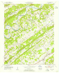
1940 Shooks Gap
Knox County, TN

1941 Fountain City
Knox County, TN

1941 Lovell
Knox County, TN
1941 Powell Station
Knox County, TN

1953 Bearden
Knox County, TN
1953 Fountain City
Knox County, TN
1953 Lovell
Knox County, TN
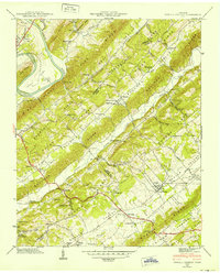
1953 Shooks Gap
Knox County, TN

1966 Bearden
Knox County, TN
1966 Fountain City
Knox County, TN
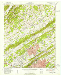
1966 Shooks Gap
Knox County, TN
1968 Lovell
Knox County, TN
1978 Bearden
Knox County, TN
1978 Fountain City
Knox County, TN
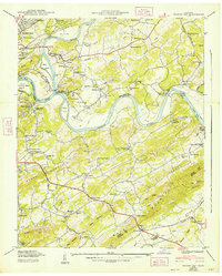
1979 Shooks Gap
Knox County, TN