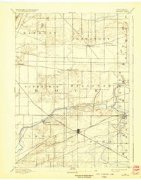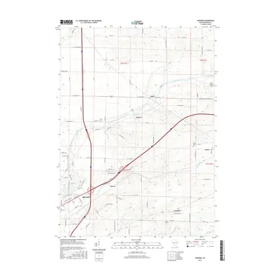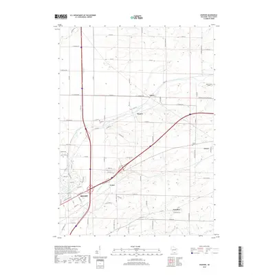
1961 Map of Shopiere
USGS Topo · Published 1964About this map
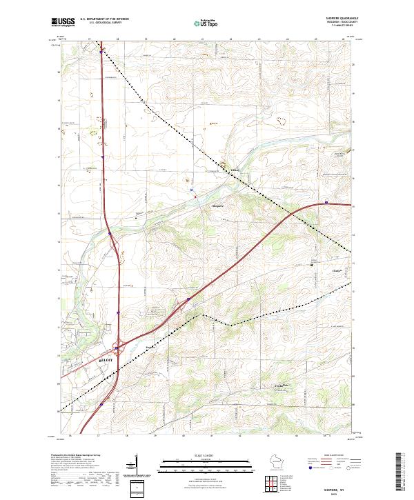
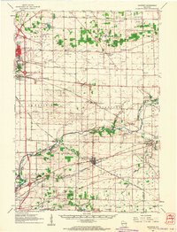
Turtle Creek winds through the heart of this Rock County landscape, serving as a focal point for several small settlements during the early 1960s. The village of Shopiere sits along its banks, while the rail-oriented hub of Clinton stands at the intersection of two major lines, the Chicago Milwaukee St Paul and Pacific and the Chicago and North Western. This rail network clearly dictates the local economy, connecting smaller hamlets like Tiffany and Avalon to the larger industrial centers of Janesville and Beloit appearing at the map's western edges.
Find a feature on this map
65 named features on this map. Tap any name to fly to it.
Don’t see what you’re looking for? This feature index may not catch every label — zoom into the map to look around manually.
Map Details
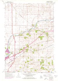
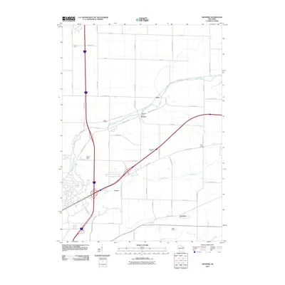
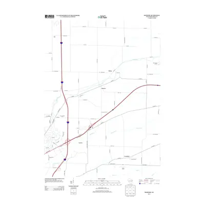
Editions of this 1961 Shopiere Map
2 editions found

Historical Maps of Janesville Through Time
8 maps found