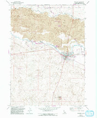
1971 Map of Shoshone
USGS Topo · Published 1993About this map
Shoshone serves as the hub of this high-desert landscape in Lincoln County, where the infrastructure of the Big Wood River and Little Wood River dominates the town's northern edge. The map documents a complex irrigation network vital to this arid region, featuring the Milner Gooding Canal and a series of technical components like the Powerhouse Penstock, Siphons, and various Flumes. The contrast between the organized town grid and the surrounding Lava fields reveals how development was shaped by geology. Notable landmarks include the Lincoln County Fairgrounds and the Little Drops Recreation Area, while the southern expanse is defined by distinctive natural features such as Notch Butte and Dynamite Cave. These elements illustrate an economy built on water management, agriculture, and transportation in the Idaho interior.
Find a feature on this map
32 named features on this map. Tap any name to fly to it.
Don’t see what you’re looking for? This feature index may not catch every label — zoom into the map to look around manually.
Map Details
Editions of this 1971 Shoshone Map
3 editions found
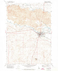
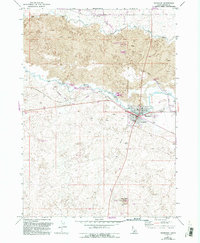
Other maps of this area

1955 · Twin Falls
USGS Topo · 1:250,000

1955 · Hailey
USGS Topo · 1:250,000

1957 · Thorn Creek SE
USGS Topo · 1:24,000

1957 · Thorn Creek
USGS Topo · 1:62,500

1958 · Twin Falls
USGS Topo · 1:250,000

1959 · Hailey
USGS Topo · 1:250,000

1962 · Hailey
USGS Topo · 1:250,000

1971 · Shoshone SE
USGS Topo · 1:24,000

1971 · Dietrich
USGS Topo · 1:24,000

1971 · Tunupa
USGS Topo · 1:24,000