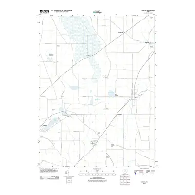
2010 Map of Shreve
USGS Topo · Published 2010About this map
Shreve serves as the primary hub in this portion of Wayne County, where residential streets meet the surrounding agricultural landscape near the Shreve Creek valley. The map reveals a dispersed settlement pattern defined by small historic hamlets and family-named landmarks like the Kister Mill near Millbrook. Water is a central feature of the local topography and recreation, ranging from the managed waters of Shreve Lake and Lake Wapusun to the natural shores of Odell Lake at Lakeville.
Find a feature on this map
81 named features on this map. Tap any name to fly to it.
Don’t see what you’re looking for? This feature index may not catch every label — zoom into the map to look around manually.
Map Details
Editions of this 2010 Shreve Map
This is the sole edition of this map. No revisions or reprints were ever made.
Other maps of this area

1901 · Wooster
USGS Topo · 1:62,500

1903 · Wooster
USGS Topo · 1:62,500

1906 · West Salem
USGS Topo · 1:62,500

1908 · West Salem
USGS Topo · 1:62,500

1912 · Loudonville
USGS Topo · 1:62,500

1914 · Loudonville
USGS Topo · 1:62,500

1915 · Millersburg
USGS Topo · 1:62,500

1943 · Millersburg
USGS Topo · 1:62,500

1943 · Loudonville
USGS Topo · 1:62,500

1950 · Marion
USGS Topo · 1:250,000