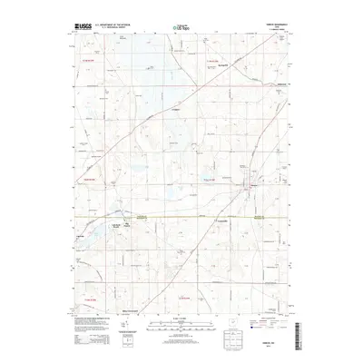
2013 Map of Shreve
USGS Topo · Published 2013About this map
Shreve sits at the heart of this Wayne County landscape, surrounded by a dense network of family-operated agriculture and modern industry. The map illustrates a transition from established settlements like Big Prairie and Lakeville to specialized agricultural operations such as Heavenly View Farm, Twinsberry Tree Farm, and Grosjean Farms. Water remains a central feature of the terrain, from the southern reaches of Funk Bottoms to the recreation-oriented shores of Lake Wapusun, Odell Lake, and Shreve Lake.
Find a feature on this map
100 named features on this map. Tap any name to fly to it.
Don’t see what you’re looking for? This feature index may not catch every label — zoom into the map to look around manually.
Map Details
Editions of this 2013 Shreve Map
This is the sole edition of this map. No revisions or reprints were ever made.
Other maps of this area

1901 · Wooster
USGS Topo · 1:62,500

1903 · Wooster
USGS Topo · 1:62,500

1906 · West Salem
USGS Topo · 1:62,500

1908 · West Salem
USGS Topo · 1:62,500

1912 · Loudonville
USGS Topo · 1:62,500

1914 · Loudonville
USGS Topo · 1:62,500

1915 · Millersburg
USGS Topo · 1:62,500

1943 · Millersburg
USGS Topo · 1:62,500

1943 · Loudonville
USGS Topo · 1:62,500

1950 · Marion
USGS Topo · 1:250,000