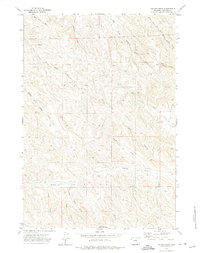
1971 Map of Shuler Draw
USGS Topo · Published 1974About this map
Shuler Draw and its complex network of seasonal drainage basins define this portion of Campbell County, surveyed just as modern photogrammetric methods were refining Western topographic records. The landscape is characterized by deeply etched prongs and draws, such as Mile Long Draw and Horsley Draw, which feed into larger water systems like Hanging Woman Creek and the Middle Fork Badger Creek. These features illustrate the natural erosion patterns of the high plains, where water has carved distinct routes through the terrain over generations.
Find a feature on this map
22 named features on this map. Tap any name to fly to it.
Don’t see what you’re looking for? This feature index may not catch every label — zoom into the map to look around manually.
Map Details
Editions of this 1971 Shuler Draw Map
This is the sole edition of this map. No revisions or reprints were ever made.
Other maps of this area

1909 · Sheridan
USGS Topo · 1:125,000

1911 · Sheridan
USGS Topo · 1:125,000

1955 · Sheridan
USGS Topo · 1:250,000

1958 · Sheridan
USGS Topo · 1:250,000

1962 · Sheridan
USGS Topo · 1:250,000
1970 · O T O Ranch
USGS Topo · 1:24,000
1970 · Ulm
USGS Topo · 1:24,000
1970 · S R Springs
USGS Topo · 1:24,000
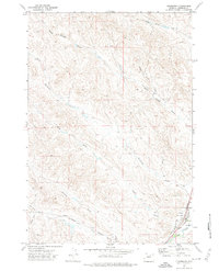
1971 · Clearmont
USGS Topo · 1:24,000
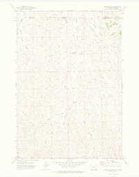
1971 · Roundup Draw
USGS Topo · 1:24,000