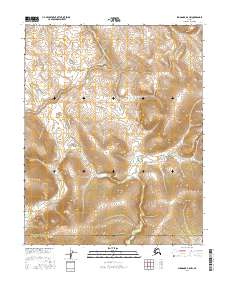
2016 Map of Shungnak A-5 NW
USGS Topo · Published 2016About this map
The Continental Divide serpentines across the eastern half of this 2016 topographical survey, marking a significant hydrologic threshold within the Alaskan interior. This remote landscape serves as a political boundary as well, where the Northwest Arctic Borough meets the Yukon-Koyukuk Census Area. The map illustrates a high-altitude wilderness defined by sharp contour lines and unnamed summits, showing the land exactly as it appeared in the early 21st century before any significant development. It is an essential document for understanding the geographic orientation of these two massive administrative districts in relation to the territory's primary watershed divide.
Find a feature on this map
8 named features on this map. Tap any name to fly to it.
Don’t see what you’re looking for? This feature index may not catch every label — zoom into the map to look around manually.
Map Details
Editions of this 2016 Shungnak A-5 NW Map
This is the sole edition of this map. No revisions or reprints were ever made.
Other maps of this area

1951 · Shungnak
USGS Topo · 1:250,000

1955 · Shungnak
USGS Topo · 1:250,000

1964 · Shungnak
USGS Topo · 1:250,000
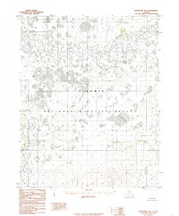
1985 · Shungnak B-6
USGS Topo · 1:63,360
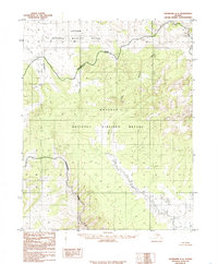
1985 · Shungnak A-5
USGS Topo · 1:63,360
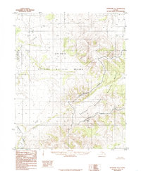
1985 · Shungnak A-6
USGS Topo · 1:63,360
1985 · Shungnak B-5
USGS Topo · 1:63,360
2015 · Shungnak B-6 SE
USGS Topo · 1:25,000
2015 · Shungnak A-6 NE
USGS Topo · 1:25,000
2015 · Shungnak A-6 SE
USGS Topo · 1:25,000