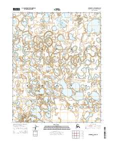
2015 Map of Shungnak B-6 NW
USGS Topo · Published 2015About this map
The Selawik River dominates this landscape in the Northwest Arctic Borough, winding through an intricate network of oxbow lakes and wetlands. The river's meandering course creates a complex hydrological system characterized by constant shifts in the channel, as evidenced by the numerous abandoned loops and disconnected ponds that fill the valley floor. To the southeast, the terrain transitions toward Ekiek Cr, part of a drainage pattern that defines this remote subarctic region. This 2015 survey provides a precise record of the shoreline and waterway positions before natural erosion and permafrost changes further alter the topography. The map's detail is focused primarily on the natural water systems and the Public Land Survey System boundaries that divide the wilderness, including t12n r1w and t13n r1w.
Find a feature on this map
11 named features on this map. Tap any name to fly to it.
Don’t see what you’re looking for? This feature index may not catch every label — zoom into the map to look around manually.
Map Details
Editions of this 2015 Shungnak B-6 NW Map
This is the sole edition of this map. No revisions or reprints were ever made.
Other maps of this area

1951 · Selawik
USGS Topo · 1:250,000

1951 · Shungnak
USGS Topo · 1:250,000

1955 · Shungnak
USGS Topo · 1:250,000

1957 · Selawik
USGS Topo · 1:250,000

1964 · Shungnak
USGS Topo · 1:250,000
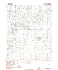
1985 · Shungnak B-6
USGS Topo · 1:63,360
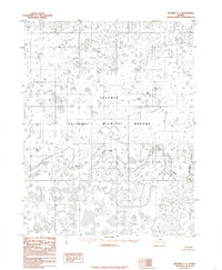
1985 · Selawik C-1
USGS Topo · 1:63,360
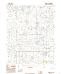
1985 · Selawik B-1
USGS Topo · 1:63,360
1985 · Shungnak C-6
USGS Topo · 1:63,360
2015 · Shungnak B-6 SE
USGS Topo · 1:25,000