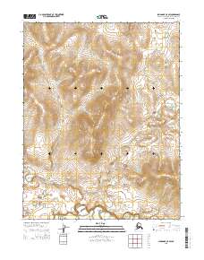
2015 Map of Shungnak C-5 SW
USGS Topo · Published 2015About this map
Kawichiark River and the Selawik River define the lower elevations of this landscape in the Northwest Arctic region. The survey documents a remote stretch of Alaskan wilderness where high ridges and deep valleys are defined by an intricate network of drainage patterns. In the southern portion of the sheet, the Selawik River creates a meandering path through the floodplain, while the Kawichiark River flows through the central and western sections. This 2015 edition provides a detailed topological record of the terrain, showing the relationship between the high interior ridgelines and the significant river systems that dominate the drainage of this part of the Arctic.
Find a feature on this map
6 named features on this map. Tap any name to fly to it.
Don’t see what you’re looking for? This feature index may not catch every label — zoom into the map to look around manually.
Map Details
Editions of this 2015 Shungnak C-5 SW Map
This is the sole edition of this map. No revisions or reprints were ever made.
Other maps of this area

1951 · Shungnak
USGS Topo · 1:250,000

1955 · Shungnak
USGS Topo · 1:250,000

1964 · Shungnak
USGS Topo · 1:250,000
1985 · Shungnak B-6
USGS Topo · 1:63,360
1985 · Shungnak C-6
USGS Topo · 1:63,360
1985 · Shungnak B-5
USGS Topo · 1:63,360
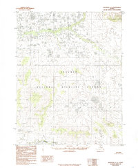
1985 · Shungnak C-5
USGS Topo · 1:63,360
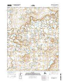
2015 · Shungnak B-6 NE
USGS Topo · 1:25,000
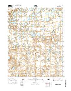
2015 · Shungnak B-5 NW
USGS Topo · 1:25,000
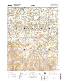
2015 · Shungnak C-5 NW
USGS Topo · 1:25,000