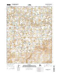
2015 Map of Shungnak C-6 NE
USGS Topo · Published 2015About this map
Kugarak River defines the central and eastern portions of this Northwest Arctic landscape, carving a winding path through an intricate network of wetlands and small lakes. In the northern reaches of the quadrangle, Kuchuk Cr contributes its waters to this hydrological system, illustrating the seasonal drainage patterns characteristic of the region. The map provides a precise layout of the Public Land Survey System grid, demarcated by townships such as t16n r1e and t15n r1e, which highlights the systematic organization of this expansive area. The absence of roads or permanent settlements emphasizes the undisturbed character of this environment in the early 21st century, where landforms are shaped primarily by the movement of water across the tundra.
Find a feature on this map
8 named features on this map. Tap any name to fly to it.
Don’t see what you’re looking for? This feature index may not catch every label — zoom into the map to look around manually.
Map Details
Editions of this 2015 Shungnak C-6 NE Map
This is the sole edition of this map. No revisions or reprints were ever made.
Other maps of this area

1951 · Shungnak
USGS Topo · 1:250,000

1955 · Shungnak
USGS Topo · 1:250,000

1955 · Shungnak D-6
USGS Topo · 1:63,360

1955 · Shungnak D-5
USGS Topo · 1:63,360

1964 · Shungnak
USGS Topo · 1:250,000
1985 · Shungnak C-6
USGS Topo · 1:63,360
1985 · Shungnak C-5
USGS Topo · 1:63,360
2015 · Shungnak D-6 SE
USGS Topo · 1:25,000
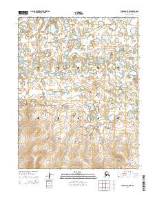
2015 · Shungnak C-5 NW
USGS Topo · 1:25,000
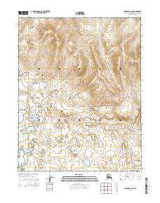
2015 · Shungnak C-6 SE
USGS Topo · 1:25,000